Provincial parks are plentiful on the northern end of Vancouver Island, and a travel itinerary could easily be compiled to do a road trip visiting a select number of them (or spend the whole time just visiting one of the bigger parks).
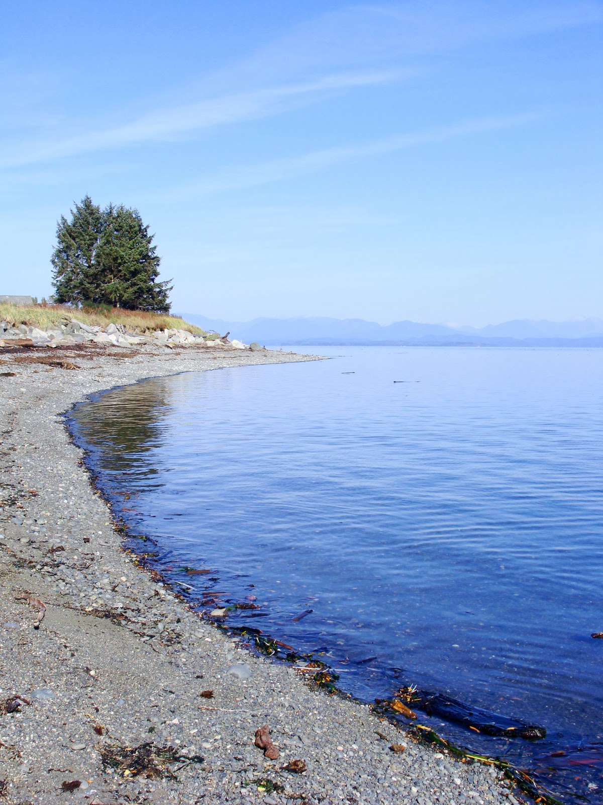
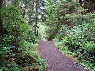
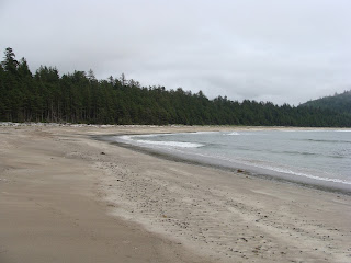
1. At the top of the island is the famous Cape Scott. While people think of this as a serious hiker's park (for the well-known Cape Scott Trail) it has some easily accessible day-use areas, including the beautiful sandy San Josef Bay. Wilderness camping is allowed in this park, but there are no services. Just outside the San Josef entrance there is a private campground with cleared sites and picnic tables.

2. Raft Cove is not far from Cape Scott, on the open west side of the top of the island. It is easier to access by boat however there is a short but sometimes challenging walking trail. Some people also choose to walk in from Cape Palmerston at low tide. The sweeping sand beach at Raft Cove is well worth the adventure to get there. This is a popular spot with intrepid surfers, who somehow manage to carry boards down the trail!
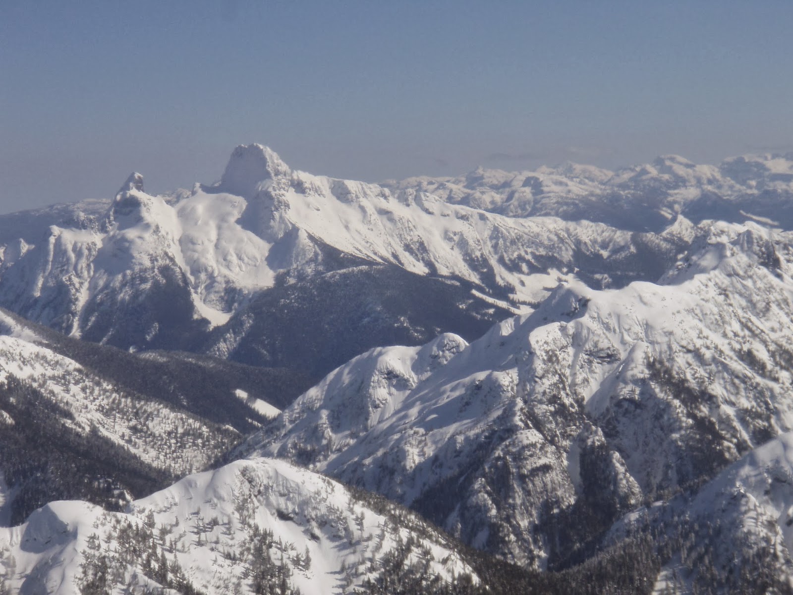
3. There are a number of lake parks scattered around the north island - Woss Lake, Schoen Lake and Nimpkish Lake are all provincial parks. Schoen Lake Park is the largest and actually comprises several lakes. At Schoen Lake there is a small campground accessible by forest service roads. Woss and Nimpkish Parks are mainly boat access and have no established amenities. Wilderness camping is permitted. All three parks offer visitors a glimpse into the rugged and remote beauty that makes up the interior of northern Vancouver Island.
4. Marble River, at the edge of Quatsino Sound, is an easy river park to access (via logging roads) and there is a forestry campsite just outside the park boundary. Marble River offers hiking and biking trails as well as good angling.

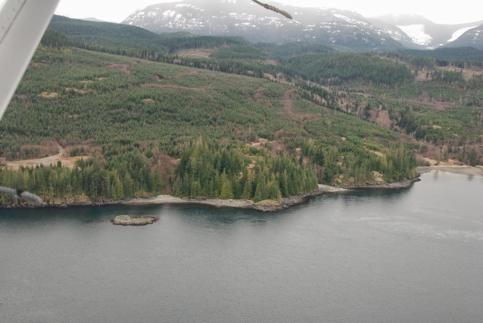
A number of the parks on the north island are much more difficult to access and in fact some are almost inaccessible. Much of the access into the northern portion of the island is dependent on logging roads, and once a road is deactivated it is no longer serviced and can quickly become impassible. This has happened with the Artlish Caves Provincial Park, where there is now a hike in to the park as the logging road access was deactivated several years ago. These parks have been established to protect sensitive habitats and ecosystems, so creating access is not a priority for the parks program.
You can discover all the provincial parks (and ecological preserve areas) through the BC Parks website. A good place to start is the geographical locator page, which lets you zoom into the region you want to explore.
Vancouver Island north of Campbell River is a massive space that may seem empty as the communities are small and spread out, but for the intrepid explorer there are some beautiful areas to discover. Doing a circuit of Provincial Parks is just one way to get out there.
1. At the top of the island is the famous Cape Scott. While people think of this as a serious hiker's park (for the well-known Cape Scott Trail) it has some easily accessible day-use areas, including the beautiful sandy San Josef Bay. Wilderness camping is allowed in this park, but there are no services. Just outside the San Josef entrance there is a private campground with cleared sites and picnic tables.

San Josef Trail

San Josef Bay, Cape Scott Park
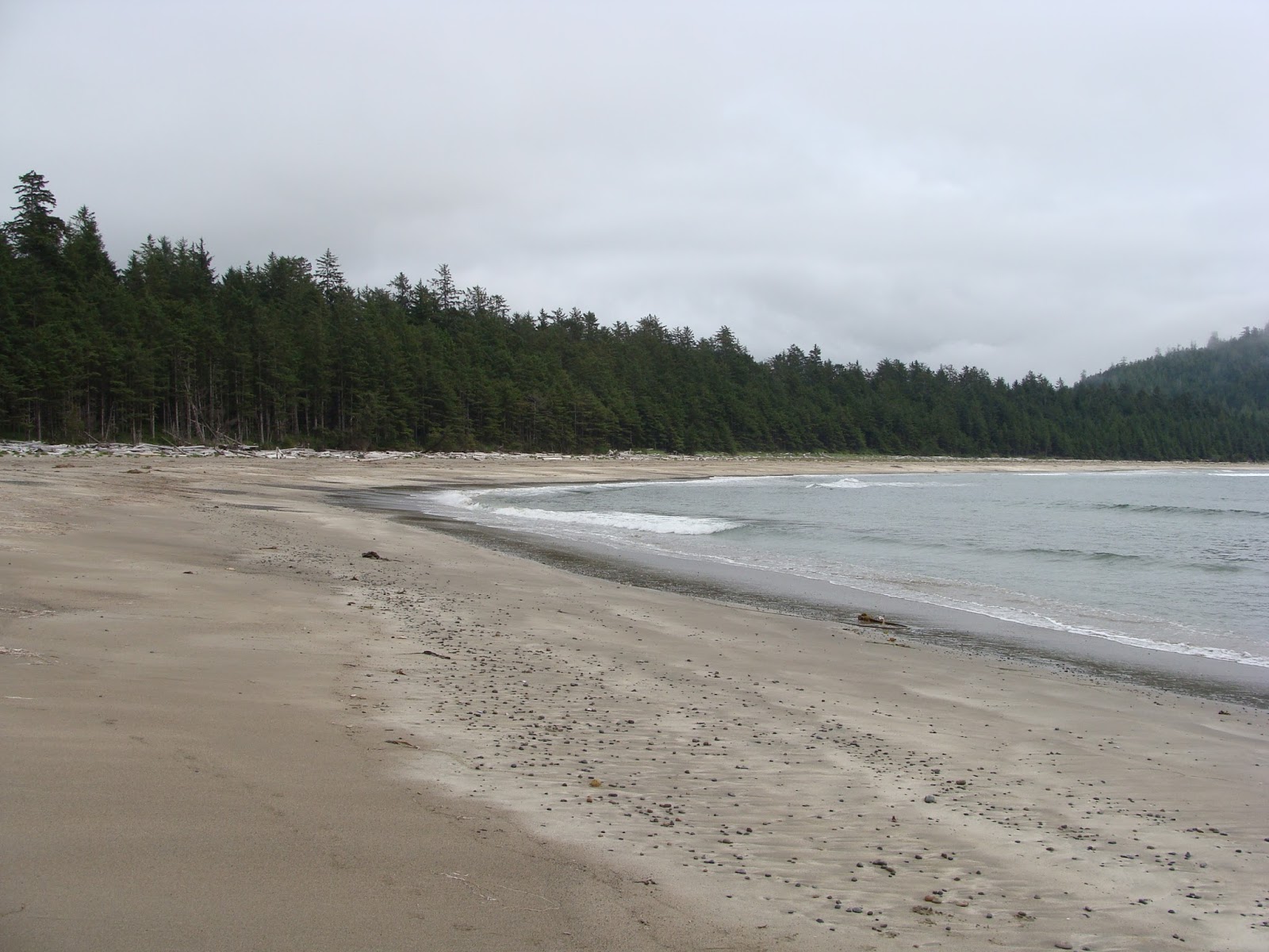
Raft Cove
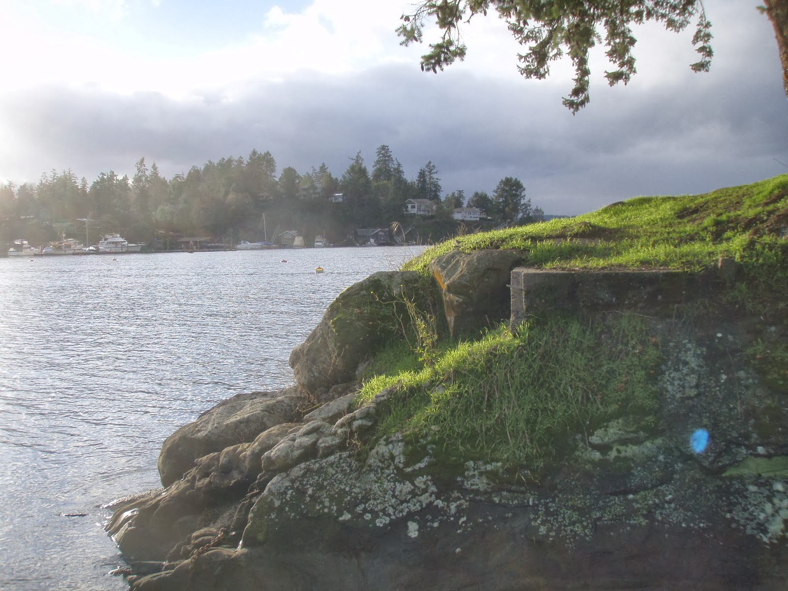
4. Marble River, at the edge of Quatsino Sound, is an easy river park to access (via logging roads) and there is a forestry campsite just outside the park boundary. Marble River offers hiking and biking trails as well as good angling.

the Marble River Park surrounds most of Varney Bay
A number of the parks on the north island are much more difficult to access and in fact some are almost inaccessible. Much of the access into the northern portion of the island is dependent on logging roads, and once a road is deactivated it is no longer serviced and can quickly become impassible. This has happened with the Artlish Caves Provincial Park, where there is now a hike in to the park as the logging road access was deactivated several years ago. These parks have been established to protect sensitive habitats and ecosystems, so creating access is not a priority for the parks program.
You can discover all the provincial parks (and ecological preserve areas) through the BC Parks website. A good place to start is the geographical locator page, which lets you zoom into the region you want to explore.
Vancouver Island north of Campbell River is a massive space that may seem empty as the communities are small and spread out, but for the intrepid explorer there are some beautiful areas to discover. Doing a circuit of Provincial Parks is just one way to get out there.
It's a Coastal Lifestyle ... Live It!